


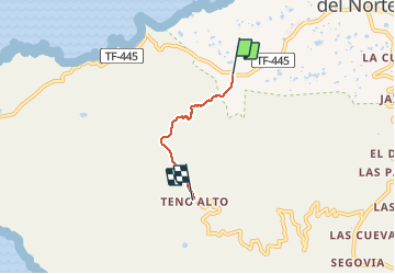

8 km | 14.4 km-effort


User


FREE GPS app for hiking
 SityTrail
IGN / Geographical institutes
SityTrail World
The world is yours!
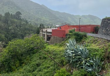
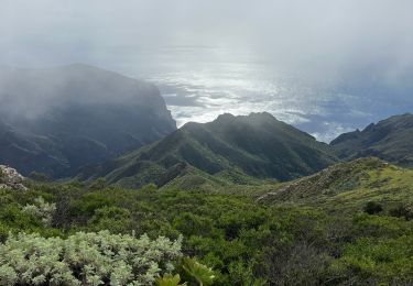
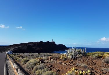
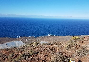
Trail Walking of 3.4 km to be discovered at Canary Islands, Santa Cruz de Tenerife, Buenavista del Norte. This trail is proposed by Forain.
Départ à la barrière qui coupe la route de la pointe du Teno. Parcours assez bien balisé. Une fois arrivé possibilités de faire demi-tour ou de descendre par un autre sentier qui va vers le phare et la pointe du Teno. Retour en bus (1€).


Walking

Walking
Walking
Trail
Walking

Walking
Walking
Walking
Walking